What is this?
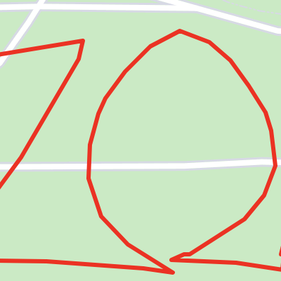
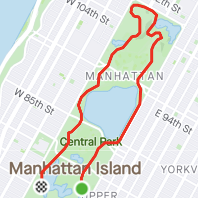
Long Tiny Loop is a fitness challenge that also tests your navigational and cartographic aptitude. Your goal is to traverse the longest possible non-self-intersecting loop within the smallest possible region, without revisiting any streets or intersections. If you love computational geometry and graph theory almost as much as you love outdoor workouts, this site is for you.
How do I join?
Long Tiny Loop is powered by Strava. After recording a Strava activity, click the big button on the main page to link your Strava account and submit an activity for processing. Once your activity is analyzed and validated it will show up on the leaderboard along with your score.
How is my score calculated?
Your score is the ratio of the total distance you traveled to the diameter of the region within which you traveled. To increase your score, try going farther within a smaller area.
What activity types are permitted?
Any human-powered activity conducted on streets or trails is allowed. This includes the following Strava activity types:
- Ride
- Run
- Walk
- Hike
- Handcycle
- Inline Skate
- Nordic Ski
- Roller Ski
- Snowshoe
- Wheelchair
What makes a Long Tiny Loop valid?
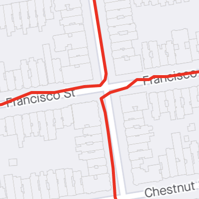
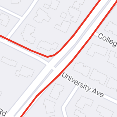
In order for your loop to count, it must follow established roads or trails without intersecting itself and without revisiting the same road segment or intersection twice. Underpasses or overpasses that cross the route are considered self-intersections. The end of the loop must be within 100 meters of the start of the loop, without touching. If your loop self-intersects at the end, you can use Strava's cropping tool to trim the parts that intersect before submitting your activity.
The site automatically validates that the path has no self-intersections and that it begins and ends at the same place, but relies on community moderation to catch and flag rule violations that are difficult to detect automatically.
What rule violations can disqualify my LTL?
Some mistakes that can disqualify your loop are:
 Neglecting to follow established roads and trails (e.g. running around a large empty field)
 Returning to an intersection you’ve already passed through (even at an opposite corner)
 Running the same section of road twice (even on opposite sides)
 Excessive weaving (e.g. multiple unnecessary street crossings)
 Ending the loop more than 100 meters from where it began
How does analysis and validation work?
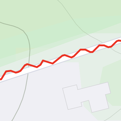
We compute the convex hull of the GPS points on your route using the Quickhull algorithm, and then find the greatest diameter of the convex hull using the Rotating Calipers algorithm. We check the GPS path for self-intersections using the Bentley–Ottmann algorithm, after first simplifying the path using the Ramer-Douglas-Peucker algorithm with a very small epsilon to filter GPS errors that can otherwise result in spurious self-intersections.
Where can I learn more details?
Check out this video of a talk at GeoMob about the motivation behind Long Tiny Loop, and how it all works:
Can I ask another question not listed here?
Sure, just shoot an email to .